Mach9 builds AI CAD software that turns mobile-mapping LiDAR into engineering-grade survey deliverables. The rebrand gives the company one language across product, web, sales and social: a near-black canvas, a single blurple accent, and lines that carry meaning.
AI CAD SOFTWARE FOR CIVIL ENGINEERING
37.7749° N
122.4194° W

MACH9 BRAND SYSTEM · CAPTURE 001
1 ACCENT · 3 FAMILIES · 0PX RADIUS
Engineered, not decorated. Measured, not loud. If a page feels quiet, that is the brand.
A ridgeline M inside an open orbit. The mark reads as terrain and as a scan sweeping around it, the two things every Mach9 project starts with.
The wordmark is always drawn from the master SVG, never set as live type.

SYMBOL · MONOLINE
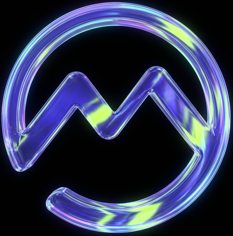
SYMBOL · GLASS RENDER
WORDMARK · GOOD TIMES, OUTLINED
#4E59F7
Three families with strictly separate jobs. Inter Tight speaks in headlines, Inter runs the interface, DM Mono labels, stamps and counts.
Every page opens with the same cadence: a hard number, a headline of three verbs or fewer, a bracketed subtitle, then the specifics.
DISPLAY
Aa
Inter Tight
Headlines and marketing body. Medium and Bold, tracked −1%.
INTERFACE
Aa
Inter
UI copy, forms and dense controls in the product.
LABEL
Aa
DM Mono
Eyebrows, buttons, readouts and tech stamps. Uppercase, +2%.
100,000+ MILES SURVEYED
Turn reality capture into complete deliverables faster
WITH DIGITAL SURVEYOR
Mach9 drafts features from raw scans with centimeter-level accuracy at infrastructure scale. Your team fine-tunes and delivers.
BOOK A DEMOTRY FOR FREE
EYEBROW · HEADLINE · SUBTITLE · BODY · CTA
One canvas, a gray ink scale and one accent. Blurple is budgeted to about 3% of any screen, so when it shows up it means act here.
Coral, amber and yellow are diagnostic signals. They live only on imagery, never as page color.
AREA BUDGET PER SCREEN
Blurple#4E59F7
Blurple light#8B95FA
CanvasRGB 16 16 16
ElevatedRGB 24 24 24
Tool chromeRGB 43 43 43
Ink 100#FFFFFF
INK SCALE
Ink 90LABELS
Ink 70BODY
Ink 55CAPTIONS
Ink 40HAIRLINES
Ink 30ANNOTATION
Ink 25DEEPEST
SIGNALS · IMAGERY ONLY
CoralCURSOR
AmberPOINT OF INTEREST
YellowGRADIENT END
Mach9 leans on lines the way other brands lean on color. Each weight has one meaning, borrowed from the CAD drawings the product delivers.
No shadows, no gradient fills, no rounded corners. Depth comes from line weight.
0.5PX INK 40 · DIVIDER
1PX INK 100 · ACTIVE
2PX · EXTRACTED REGION
2PX 14/8 · CONNECTOR
DM MONO · SUBTITLE
WITH DIGITAL SURVEYOR
No stock, no glowing tech waves. Images show the work: real scans, real CAD, real rigs.
Every hero image is annotated like a capture. A dashed blurple box on the region of interest, a signal marker on a real detail, and a mono stamp in the corner.
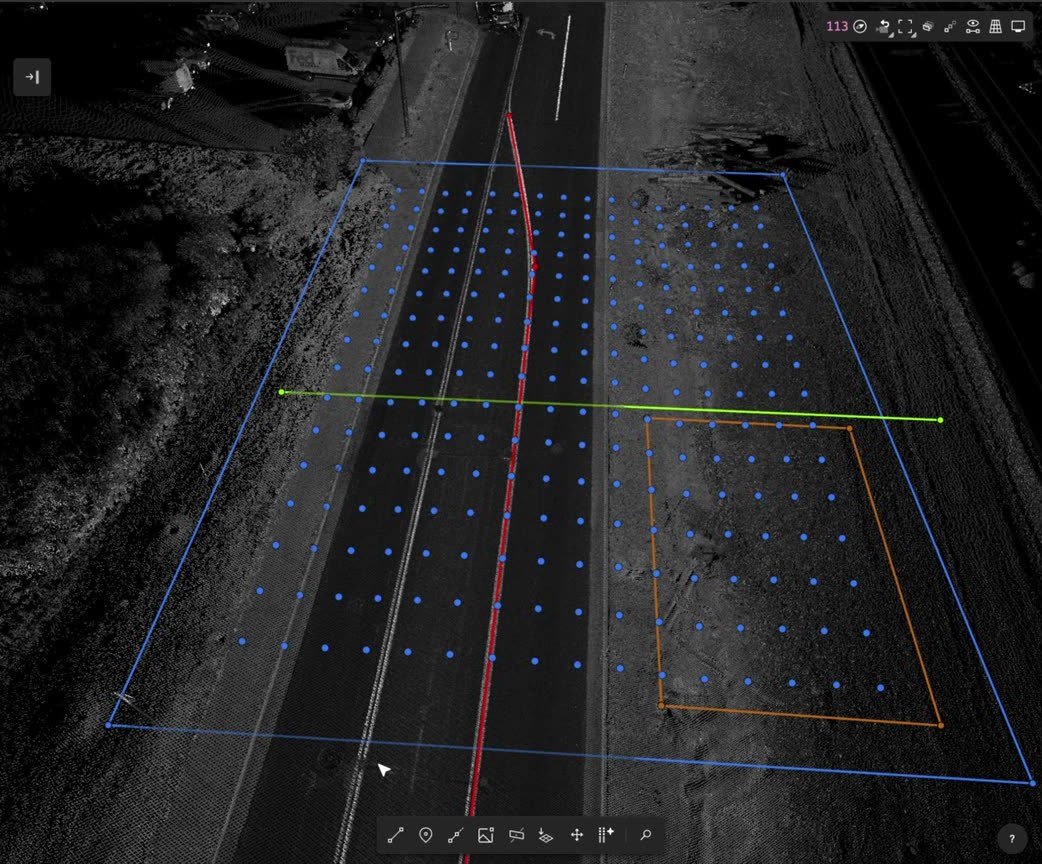
BREAKLINE
MOBILE LIDAR · CORRIDOR SCAN
DIGITAL SURVEYOR 2
200 monoline icons on a shared grid, drawn in the same square-vertex language as the CAD tools they stand for. On the page they sit on blurple chips; in the product they step back to ink 70.
The homepage leads with the scan itself, then lets hard numbers do the selling. 223 days of conventional surveying become 6 with Mach9, drawn as a single blurple bar.
100,000+
MILES SURVEYED
10x
FASTER EXTRACTION PER TECHNICIAN
2,500+
PROJECTS DELIVERED
TIME SPENT · COLLECTION + PROCESSING
CONVENTIONAL SURVEYING
223 days
REALITY CAPTURE + MANUAL DRAFTING
59 days
MACH9
6 days
The system is packaged as templates the whole team can use. Anyone at Mach9 can generate an on-brand LinkedIn banner from two lines of text.
Stickers are where the brand gets to play: holographic speed limits, a glass M and a disco-ball seal, all still on the black canvas.
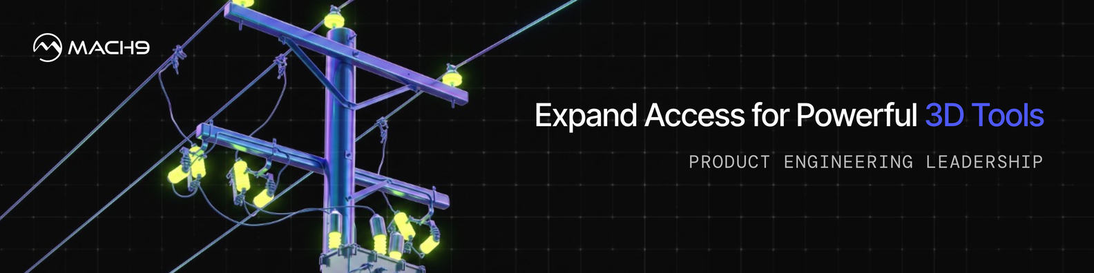
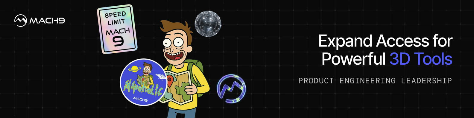
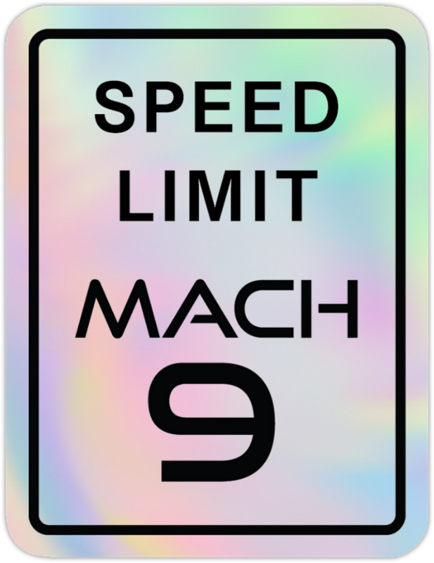
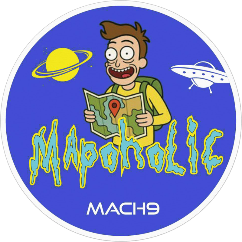
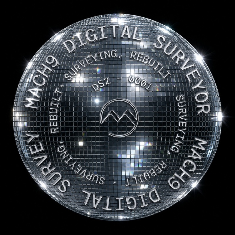

A composable deck framework and an industry one-pager for telecom, transportation and electric utilities. Each is assembled from the same small component kit, so sales can build a new one without a designer.
Copy is held to the same precision as the drawings. Active verbs, hard quantities with units, and at least one specific in the first sentence: a scanner, a format, a partner, a number.
NOT THIS
- Revolutionary AI-powered mapping
- Unlock seamless workflows
- Massive scale
THIS
- Extract, validate, deliver.
- Export to DXF, DGN or Esri Feature Services.
- 100,000+ miles surveyed.