Mapping, Wayfinding & Geospatial Visualization
How people navigate, interpret and interact with spatial information.
Data-driven product design, shipped at lightspeed.
How people navigate, interpret and interact with spatial information.
Make TIN creation and review fast and intuitive.
One guided command-bar flow for requesting Mach9’s automated feature extraction, without knowing its billing logic.
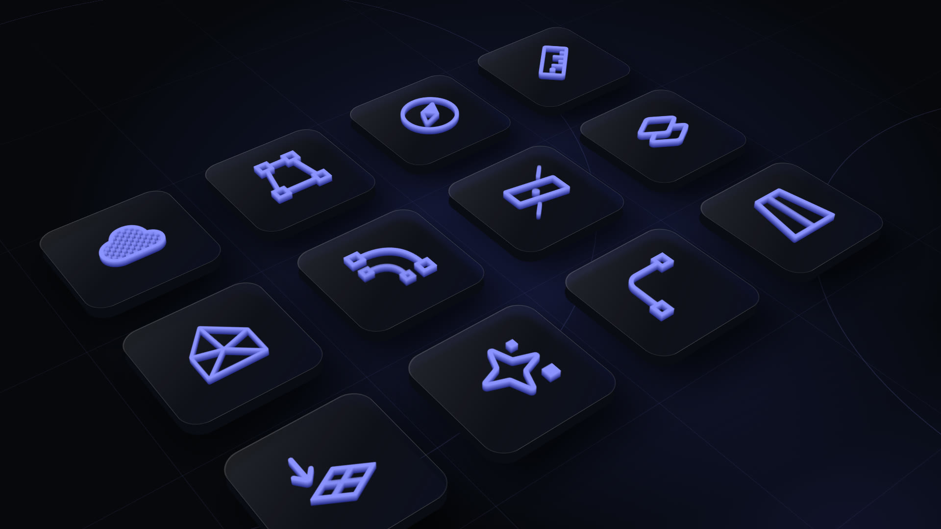
One consistent icon language across the product.
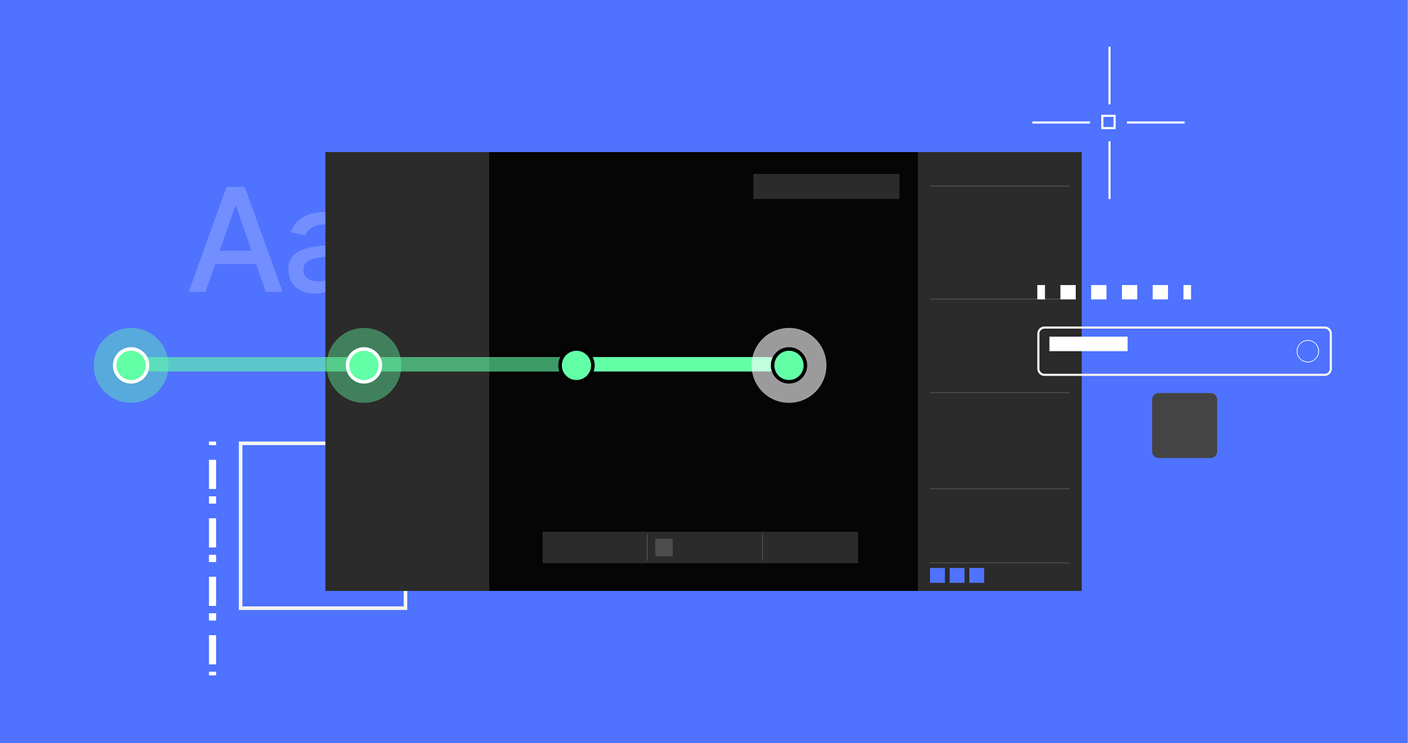
Bring visual clarity to everyday interactions.
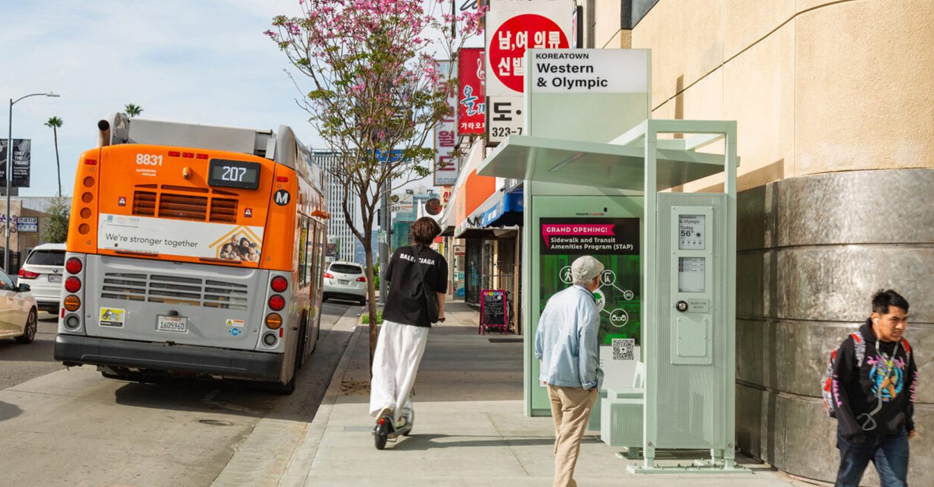
Real-time e-ink displays for LA's new bus shelters.